
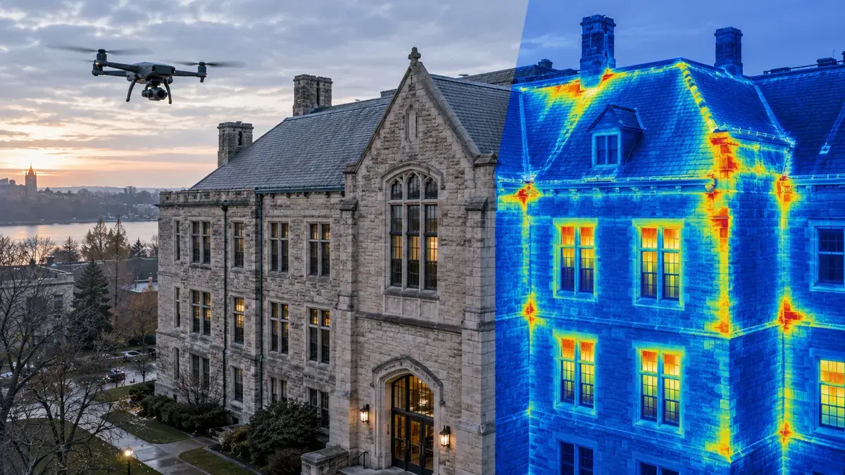
A Drone Can Find Thermal Anomalies. Should That Evidence Matter to Green Certification?

EagleNXT has launched the Altum-PT Pro, an aerial sensor that captures synchronized multispectral, panchromatic, and radiometric thermal data in one payload. For the construction and building industry, the interesting part is not simply that a drone can collect three kinds of imagery in one flight.
The larger opportunity is to compare how a building was intended to perform with evidence of how it performs after construction.
Existing buildings are a practical starting point
Older buildings often have envelope conditions that contribute to unnecessary energy use: missing or deteriorated insulation, air leakage paths, thermal bridging, moisture, or assemblies that no longer perform as intended.
A properly planned thermal survey can identify temperature patterns and anomalies that deserve investigation. On large roofs, façades, campuses, solar installations, and difficult-to-access areas, a drone may collect that information more efficiently than separate inspection passes.
For renovation planning, the results can help teams focus follow-up investigation and prioritize corrective work. They can also provide a repeatable record before and after improvements.
Thermal imagery does not diagnose every cause by itself. A hot or cold pattern may reflect solar loading, moisture, air movement, emissivity, interior conditions, mechanical operation, or material differences. The survey needs suitable weather and temperature conditions, calibrated equipment, qualified interpretation, and confirmation where the consequence matters.
The completed building may differ from the energy model
Energy and envelope performance are established through design assumptions. Construction means and methods, substitutions, gaps in insulation, discontinuities, penetrations, and installation quality can change the actual result.
That creates a useful verification question: did the completed building achieve the thermal intent used during design?
Aerial thermal capture can contribute evidence, particularly for large or inaccessible exterior surfaces. It should be combined with the appropriate commissioning tests, drawings, specifications, observations, and ground investigation rather than treated as a pass-or-fail image.
LEED already includes some performance verification
It would be inaccurate to describe LEED certification as entirely paper-based. LEED residential pathways include on-site verification and performance testing. Building-envelope commissioning is also available in other pathways, and LEED v5's enhanced enclosure-commissioning path includes infrared imaging among its field-testing requirements.
The broader point remains worth pursuing. Measured evidence of completed-building performance should play a larger and more consistent role in green-building verification, especially where certification relies on design assumptions and submitted documentation that may not reveal installation gaps.
Drone thermal data could support that shift, but the requirement would need clear standards for capture conditions, qualifications, resolution, interpretation, exceptions, and corrective action.
Connect the observation to the building record
The drone data is not a BIM deliverable by itself. To make it useful over time, the team should record:
capture date, time, weather, and operating conditions;
sensor and calibration information;
coordinate and georeferencing method;
observed anomalies and confidence level;
supporting photographs and field findings;
responsible reviewer and corrective action; and
links to the affected location, assembly, or asset in BIM or GIS.
One flight can collect rich information. The value comes from turning that information into a traceable investigation and a better-performing building.


Comments